Editorial staff
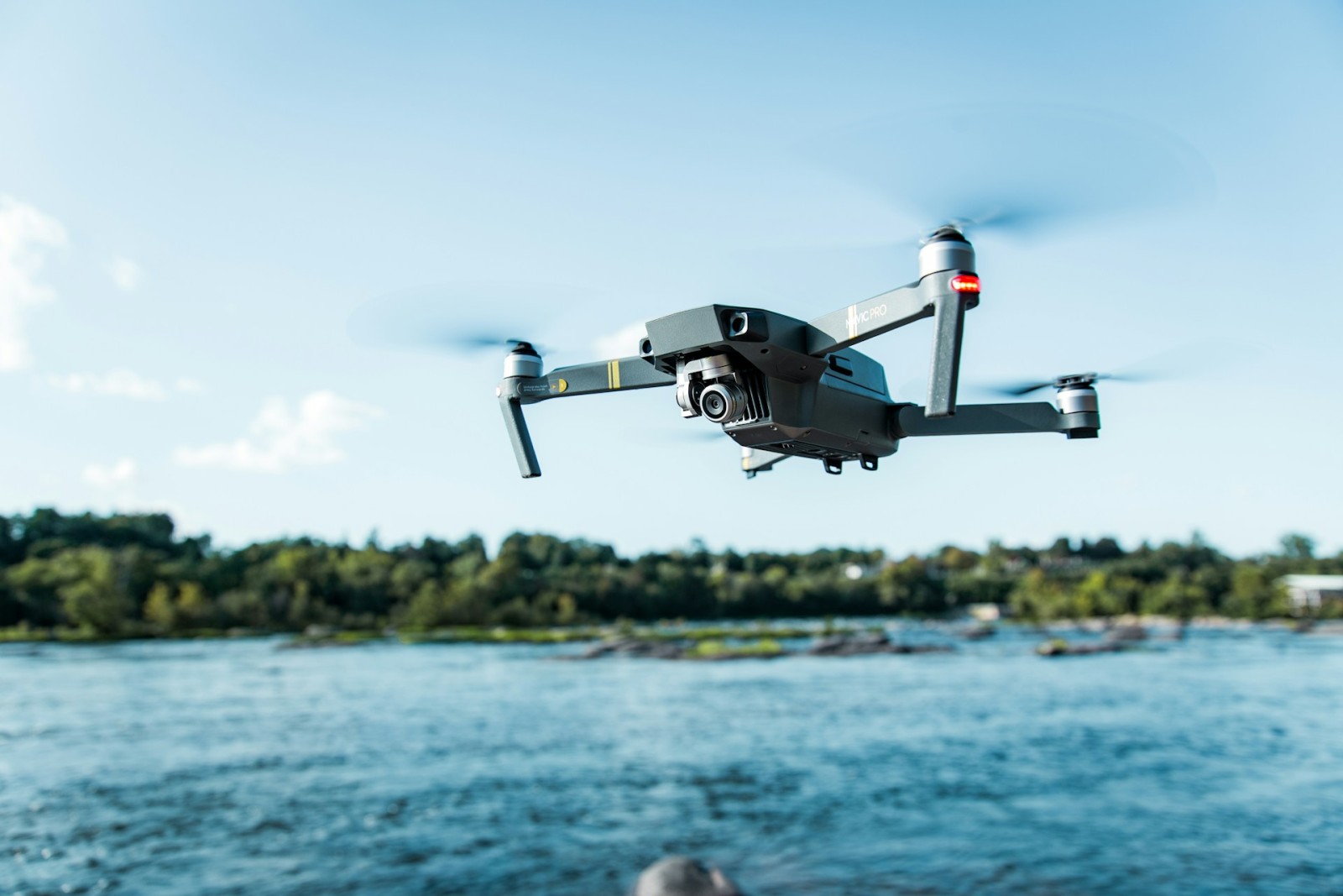
With the development of industries, there appears to be the tools that will ensure that environmental monitoring becomes more accurate and efficient. The drone is one of the most useful contemporary gadgets that have turned out to be a game changer in terms of environment management and reporting.
Through drones, organizations are able to gather accurate environmental information without having to be restricted to ground surveys. The capability to take aerial photos, scan the terrain and keep track of the changes in the environment in real time will provide the stakeholders with a better idea of the effect of their operations on the environment. Consequently, drones do not only enhance quality of the data, they also increase accountability and adherence to environmental laws.
Advancing Data Collection Accuracy
The conventional environmental surveys can be time-consuming and restricted in nature; they usually use manual data collection. Drones provide a more effective option since they are able to cover a vast area in a short time and would produce high-quality pictures. This technology can help the analysts to identify vegetation changes, soil erosion and water patterns that might not be noticed during the ground inspection. Drone mapping is accurate, which means that the data used to represent the environmental conditions reflect the actual condition to make a valid assessment.
Drones are able to gather information about the temperature differences, moisture content, and air quality with the help of sophisticated sensors. This is what makes them the best to gauge the health of the ecosystems and monitor sources of pollution. With such data, when incorporated in the environmental reports, it can give a more real image of the present condition of the environment, which makes the findings and the recommendations more credible.
Improving Monitoring Efficiency
The task of tracking the changes in the environment is a continuous process and it must be conducted consistently and accurately. Drones allow companies and scientists to develop routine aerial surveys without paying the costly fees and time-delays of manned aircraft or the unnecessary use of a vast field. Low altitude flying also enables drones to shoot detailed shots that showcase minor changes in the environment over time across small scales. This continuous surveillance is important in monitoring the progress of restoration as well as in the realization of the impact of human activities on the local ecosystems.
Also, drones will be able to cover remote or dangerous locations where the conventional survey practices can be unsafe. As an example, they may check on the erosion of the coastal regions, monitor the health of the forests or the consequences of the industrial spill without putting the lives of the workers in danger. Drones can assist organizations to ensure consistent monitoring of the environment and act promptly on any arising concerns because they make monitoring the environment much more accessible and frequent.
Supporting Regulatory Compliance
The environmental impact reporting has been known to have strict regulatory standards that demand correct and verifiable information. Drones can assist in addressing these demands because they can deliver visual and analytical data that justifies the conclusions of an environmental report. The images and information gathered by drones can be used as objective evidence of compliance, since it is easier to prove companies as complying with the environmental regulations and policies due to the aerial images.
Besides, drones will assist in determining the possible non-compliance issues prior to their development into expensive legal concerns. Businesses are able to prevent adverse impacts on the surrounding by continuously observing the activities and the surrounding conditions to implement preventive actions. Such a proactive strategy ensures the adherence, but also facilitates the image of the organization as a responsible and environmentally friendly one.
Enhancing Public Transparency and Engagement
Even though an environmental impact report is a technical document, it is a communication tool as well and serves to inform the masses about the impacts of the projects on the environment. Drones can also help to become more transparent, as it will allow us to show clear, visual evidence of project results. Communities and stakeholders can be able to know more about the environmental changes through aerial footage and 3D maps, which will instill confidence in the process of reporting.
The aesthetic quality of the drone data can also enhance the involvement of people. When the stakeholders are able to observe definite pictures of forest regeneration, water management or wildlife preservation, they become sure of the efforts done. As such, with the help of drone technology, the disparity between technical reporting and the public understanding will be bridged so that environmental information will be more available and relevant to all parties.
Reducing Environmental Impact of Data Collection
Paradoxically, the conventional environmental assessment may be disruptive to the environment in some instances. The operation of heavy equipment, field tours, and vehicles may disrupt the habitats and cause emissions. Drones also decrease these difficulties because they limit the use of ground transportation and invasive fieldwork. What it has achieved is a cleaner method of data collection that is more in line with the sustainability objectives that are being reported.
Moreover, the drone services Canada offer providers have established some specialized equipment that is effective and causes minimum wastage of batteries and noise pollution. This renders drone-based environmental surveillance as technologically up-to-date and environmentally friendly. When organizations select drones as a means of environmental evaluation, they show that they are interested in working sustainably, as well as in how they collect data.
Conclusion
Introducing drones to environmental impact reporting is a progressive way of being green and responsible. Drones aid in making informed decisions by organizations by improving the efficiency, compliance, and transparency of their data, as well as protect natural ecosystems. With the current trend of responsible development, the technology of drones keeps on establishing its worth in the process of striking a balance between progress and environmental conservation. By adopting the services of professional drones in Canada companies and organizations are able to provide environmental reporting with the added level of precision, reliability, and sustainability.
 Editorial staff